Category Archives: FAQ

How can I transfer GPX tracks to my computer?

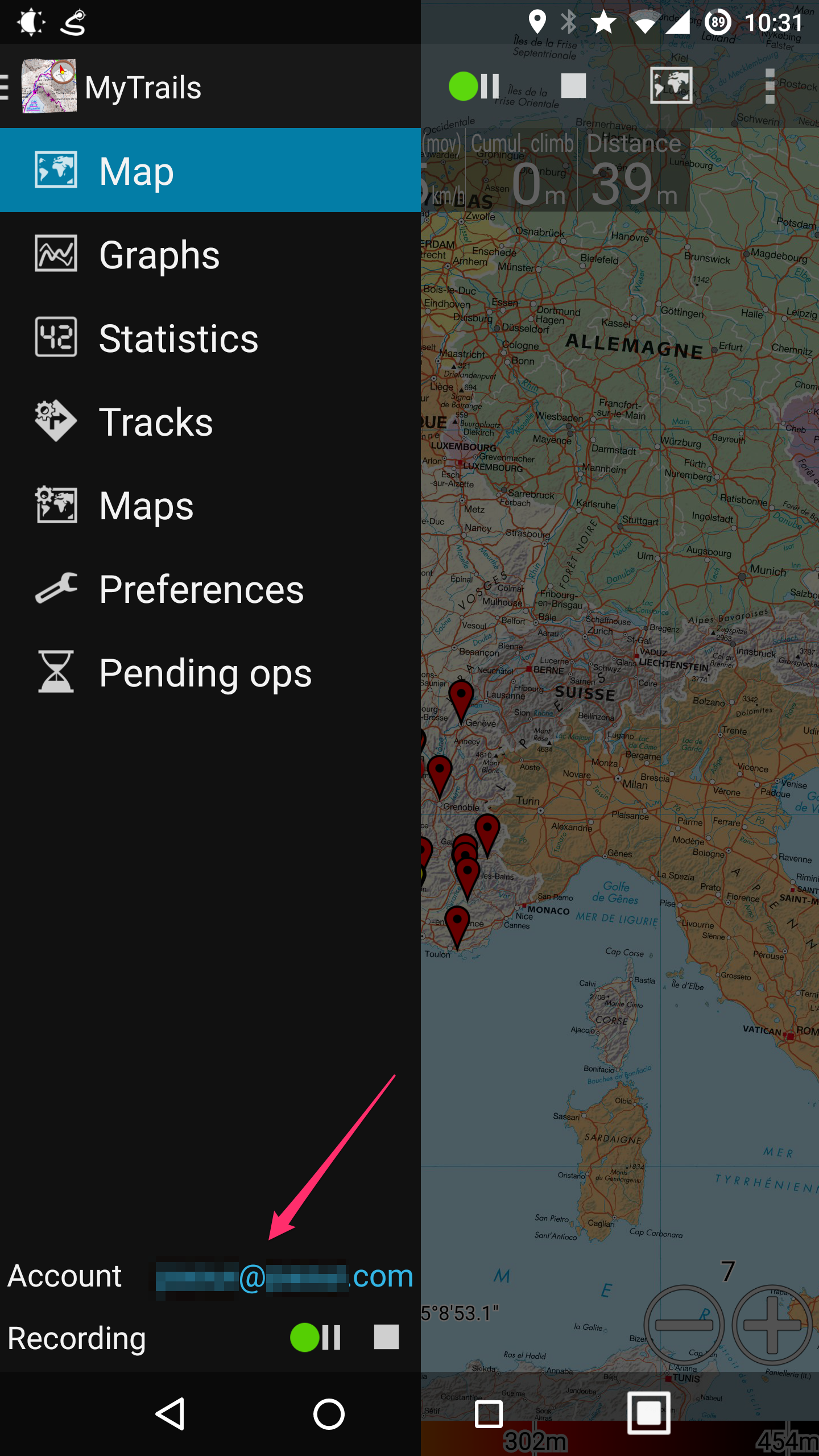
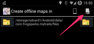
MyTrails store the GPX files for tracks you have recorded in /sdcard/MyTrails/gpx (you can change this in MyTrails > Preferences > Other).

Here are a few methods you can use to transfer track files:

  • the most basic method for transferring files is to connect your device to the computer via USB (make sure to set the USB transfer mode to MTP, and on Mac use Google’s Android File Transfer to copy the files over). More info here.
  • another method is to use a file manager on Android to copy the files to a physical SD card (if you have one and can plug it into your device) and then read the SD card on the computer
  • MyTrails Pro has built-in support for saving tracks to Dropbox (or a track-sharing community such as GPSies); if you also use Dropbox on your computer, the file will magically appear there
  • finally, in MyTrails’ Track Manager, you can long-tap a track and use the Share menu to send the file via email or another app that is capable of sharing files

Combining maps

In order to make it easier to manage offline maps, I usually recommend creating separate offline maps for separate geographical areas.

However, this makes it necessary to switch maps when looking at different parts of the map. Unless you chain maps together using the fallback map feature.

Picking a fallback map

Picking a fallback map

Most maps, and particularly offline maps, support setting a fallback map. To do so, tap the name of the map in the Map manager, and then the Select… button in the Fallback map section. You can then pick the fallback map, which will be used where the main map does not provide a tile.

Using this system, you can chain maps together:

  • set the fallback map for map A to map B
  • set the fallback map for map B to map C
  • etc.
  • in the main MyTrails view, select map A, and MyTrails will automatically display map B or C in areas not covered by map A.

A, B and C do not need to all be offline maps. in fact, it may be useful to select an online map as the last map in the chain, so that there is always something to display. This is what MyTrails does when you create an offline map and check the Let MyTrails download missing tiles option.

Create offline map with fallback

Create offline map with fallback

Cumulated climb or descent

Dénivelé

In order to calculate the cumulated altitude differential, MyTrails must identify parts of the altitude curve where the track switches from uphill to downhill or vice versa. Because altitude measurements are not exact (especially from the GPS), MyTrails uses a filter to attempt to differentiate measurement errors from actual changes in the track.

Different applications use different filters, which may yield very different altitude differentials.

You will get better results when using altimeter-derived altitudes, or after applying altitude normalization (when saving the track, or in the Track Manager).

In MyTrails 2.0.11 and later, you can additionally use two options in Preferences > Sensors: Altitude stabilization (which performs some filtering on GPS altitude data to reduce the noise) and Cumulative climb filter, which you can set higher to avoid MyTrails overestimating cumulative climb when the GPS data is very noisy.

New recording UI

MyTrails 2.0.9 introduces a new recording UI, which should make it easier for new users to grasp what the application is doing. The original recording UI is still available and will continue to be supported for users who prefer a greater degree of control.

How to select

You can select the type of recording UI in MyTrails > Preferences > Recording, Extended recording UI (uncheck for the new UI).

How does the new recording system work?

The new system consists of two buttons: Record/Pause and Stop.

New recording UI

Currently recording

The icon that is lit corresponds to the current recording state. Tap a button to switch to that state. For example, to pause the recording (without saving and closing the track), tap Record/Pause.

Tap the Stop button when you are done with your recording: MyTrails asks you to save the track (providing a name, etc.), and possibly upload the track to a community. The recording is then cleared, so MyTrails is ready for another recording, which you can do immediately by hitting the Record button.

You can also find the recording controls in the navigation menu, which is available on all main screens (stats, graphs, tracks, maps, etc.), not just the map view.

Streamlining the recording experience

With this new mode, MyTrails tries to make it very quick and easy to record your tracks:

  • when you launch MyTrails, recording starts right away (unless MyTrails was exited in the paused state)
  • when you get back to your starting point, MyTrails reminds you to save the recording with an unobtrusive notification (you can dismiss it by swiping it away; you can also disable this feature)
  • when you stop the recording and save the track, you can leave MyTrails any way you like:
    • just sending MyTrails to the background (using the Home button) stops using the GPS
    • actually quitting (using the Back button) is still better: when you next start it, MyTrails will know to start recording a new track

How can I move already downloaded offline maps to my external SD card

So you’ve downloaded a bunch of maps offline, and MyTrails placed them on your phone’s internal storage?

MyTrails doesn’t attempt to help do this, because moving large amounts of data around is difficult to do in a compatible and safe way. So please follow this guide:

  1. in MyTrails > Preferences > Other (storage), set the New offline maps location to your external SD card (you can use the SD card icon if you see one, or navigate to the external SD card if not)
    Create offline maps in
  2. use an Android file manager such as ES Explorer to move the contents of /sdcard/MyTrails/Offline to the location you selected above
    if this is not possible (Android 4.4 and later, unless rooted), transferring the files using a computer is required
  3. in MyTrails > Maps, tap on each of the offline maps you created and adjust its location
    Offline map location

If step 3 sounds too tedious, you can skip it; the next time MyTrails starts (you can stop it manually to make this happen sooner), it will automatically regenerate the map definitions for you (but it leaves the old ones, you’ll need to hide them in MyTrails > Maps, or delete them by long-pressing the map names and selecting Delete – make sure not to delete the map data, just the definition!).

If this does not succeed, please use the reset offline hidden option.

MyTrails is always looking for a GPS signal – AKA how can I stop MyTrails?

MyTrails can record your track whether it’s visible or running in the background. Even if you’re not recording a track, MyTrails may use the GPS if you have the proximity notifications option turned on.

When you want to stop using MyTrails, you should quit it like any other application (including Google Maps), by using the back key or button. When you do this, MyTrails asks you whether you want to keep recording the track in the background. Answer ‘no’ to stop MyTrails entirely.

Back button

Back button

Back key

Back key

Note that MyTrails doesn’t ask about quitting if you have already paused track recording. You can also use the Pause button in the recording notification to stop recording.

Recording notification

Recording notification

If you find this confusing, you can enable a Quit option to the navigation menu in MyTrails > Preferences > Other.

If you have used MyTrails beta, it may be set to use “enhanced GPS”, which introduces an issue. Please check in MyTrails > Preferences > Sensors that enhanced location is turned off.

I made a purchase but MyTrails failed to activate it

In some very rare cases, MyTrails may have trouble activating a purchase you made via in-app purchase, so Google (or PayPal) will have charged your account but MyTrails doesn’t register that fact.

MyTrails usually warns you of the fact and suggests corrective measures; even if it doesn’t, the first things to try are:

  • make sure MyTrails is connected to your Google or FrogSparks account (MyTrails > Preferences > Accounts > Google or FrogSparks) or in MyTrails’ navigation menu
  • if you made your purchase from within MyTrails
    • trigger a new attempt to register your purchase by going into MyTrails > Preferences > About > Retry purchase (in MyTrails 2.0.3 or later – in earlier versions go to the same screen you initially tried the purchase)
  • for purchases from the web site
    • the account you used to connect to the web site (and the email address on which you received the confirmation email) matches the account to which MyTrails is connected (displayed at the bottom of the navigation menu)
  • if this doesn’t work, please contact support@frogsparks.com, providing the following information (clicking the link provides a pre-formatted email for this):
    • the email address of the account MyTrails is connected to
    • your Google Wallet (from Google’s confirmation email or wallet.google.com) or PayPal (from their email or www.paypal.com) purchase number

Compass calibration

MyTrails can use your phone’s built-in magnetometer and accelerometer to simulate a compass. However, unlike a physical compass, phones need to be periodically calibrated to provide an accurate reading of the magnetic north bearing.

There are two methods (both need MyTrails to be running with the screen on – MyTrails disables the compass when the screen is off):

Keep in mind that even after calibration, the compass is sensitive to interference: don’t place it next to ferrous metals.

Unlike a physical compass, MyTrails can automatically correct the magnetic declination to provide a reading of the geographic rather than magnetic north.

If the compass seems to rotate in the opposite direction of your real movement when you, please try using the toggle reverse compass hidden option.

In addition to the compass, MyTrails can use the GPS-derived heading, with the following caveats: it’s only active above 1m/s (too imprecise at slower speeds), and the GPS heading indicates the direction of your travel, not the direction the phone’s screen is pointing.

Another method, described by Google.