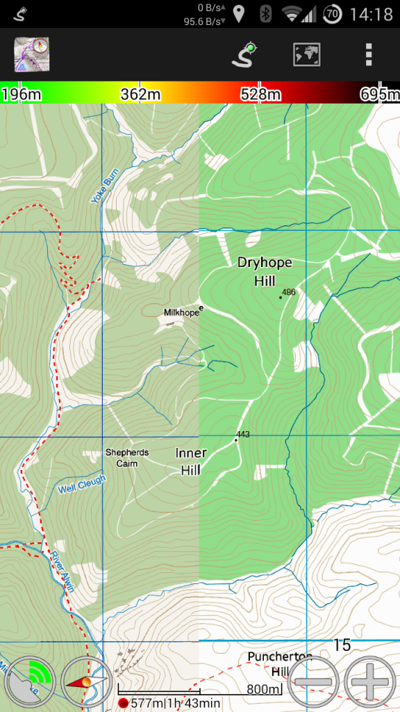
Update: Ordnance Survey maps are no longer available for sale in MyTrails
If you have a current subscription, you can use it until it runs out, but you won’t be able to renew it.
On new installs of MyTrails, OS maps are not defined by default, so if you reinstall MyTrails and you do have a subscription, you can add the map by going into MyTrails > Preferences > Map Manager and tap Add, then select the OS map you have a subscription for. You also need to be logged in to your FrogSparks account for the subscription to be recognized.
Read on for information about why this came about.
Three great pieces of news about Ordnance Survey

1. Price reduction on OS 25k
Ordnance Survey recently updated their pricing, and they are finally offering degressive pricing for offline maps (and at a much more reasonable price) for their 25k maps.
This is great news, as it makes it possible to keep all of UK 25k mapping offline for about 120£ per year (not that you need to, since with MyTrails you can exchange parts of offline maps you no longer need in exchange for other bits).
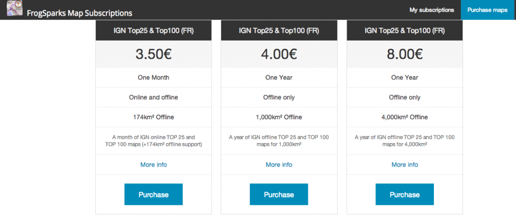
More realistically, it sharply reduces the price of the most popular offline subscription (4000km²) from £38 to £16.80.
In order to minimize the price as much as possible, I have split 50k maps apart, because the price of the 50k map is no longer negligible next to that of the 25k map. You can subscribe to both to create a hybrid offline in MyTrails.
If you’ve purchased a subscription since October 1st based on the old pricing and would like to take advantage of the new one, please send me the Wallet transaction number so I can cancel your order and you can purchase one of the new subscriptions.
Please note that Offline OS25k maps require MyTrails 1.4.0b3 or later.
2. Lifetime subscriptions are available
Previously, Ordnance Survey required that perpetually-licensed maps be downloadable only once (which I felt to be incompatible with MyTrails’ design philosophy), but now they offer a new lifetime license (in some locations, MyTrails also refers to it as a perpetual license), which does allow unlimited re-downloads, so MyTrails supports that.
It costs a bit over twice the yearly license, but you can use it as long as you like. It’s not quite like owning the map (because you can only use it with MyTrails – again, this is an Ordnance Survey requirement, not mine), but it’s as close as it gets this side of the digital divide.
3. OS has stopped one app that used OS maps without a license
Actually, this is good news for me (or should be, see below) or if you care about using officially-licensed maps…
In October, OS finally prevailed upon another Android app that was offering OS maps without a license (for free) to stop doing so. Since this application has way more users than MyTrails, this resulted in an uptick in the number of OS licenses I sold.
There is still another well-known app out there giving access to free OS maps… and that app is not free. If you look for it, you’ll find it :-).
More seriously, by all accounts these free OS maps are old (they’re still the same maps MyTrails used to offer in 2011, before Ordnance Survey asked me to stop and I switched to licensed maps) and they’re badly compressed and blurry. But people still use them because licensed maps are expensive, and I totally sympathize with that.
… And one not so great
There’s no easy way to say this, so here it is: Ordnance Survey requires a minimum yearly license revenue, and I’m not meeting it. Especially since they lowered their prices (which is great, did I mention that?).
This is where I need your help.
By early January 2014 I will have to stop selling OS maps, unless I can substantially increase my sales. So please talk to your hiker friend, your mtb buddy, the crazy climber dude who keeps threatening to rope you in. Tell them about MyTrails, about how irreplaceable OS maps are, and how you can do more with them when you use MyTrails.
And get them to treat themselves to a map subscription for Christmas.
If I have to cancel my Ordnance Survey license, your maps will not stop working. Online and offline map subscriptions will continue to work for the duration you paid for. You will still be able to exchange parts of your offline maps for new areas. But you will no longer be able to purchase additional OS map coverage to use with MyTrails, and I will no longer be able to update the maps to the latest OS data.
I can promise you that despite the fact that OS is more interested (legitimately) in the companies that have been selling tiny maps areas for £100 (and still are selling at over twice the price I am, after the price reductions), I will continue to work tirelessly to make MyTrails a great app for you.

Brand B pricing
And if I should have to cancel my OS contract, any OS map purchased between December 1st 2013 and January 15th 2014 will be reimbursed in full upon request.
So please head to our new storefront and help us keep our Ordnance Survey reseller license!


