Tag Archives: maps

map1.eu offline

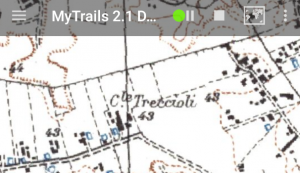
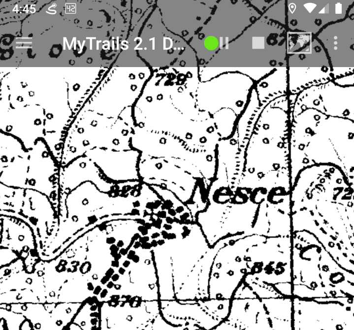
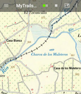
The map1.eu servers are currently online offline.

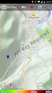
This has happened in the past, and the server eventually came back, but there is no certainty it will be the case this time.

This server has alternated between online and offline in past weeks, and is increasingly unreliable.

Kompass map

At the moment the Kompass map is no longer working. I will attempt to find a way to get it to work again, but it’s entirely possible that won’t be successful.

As with all free maps, I can’t make any guarantees that a given map will remain available, as the map owners may stop providing it or start protecting it effectively.

OSM-based maps fixed in MyTrails 2.1.10

OpenStreetMaps recently changed their server infrastructure to better handle the load. This had the side-affect of breaking all OSM-based maps in MyTrails because they now require a specific per-app User-Agent HTTP header.

Unfortunately MyTrails didn’t support directly editing the HTTP header so fixing the maps required updating the app.

The maps should be updated when you launch MyTrails after the update, unless you already changed an affected map, in which case MyTrails will create a fixed copy at the end of the list.

IGM map (Italy)

A change on the Minambiente site broke this map for MyTrails. Fortunately, a simple edit fixes it: MyTrails > Maps > tap on the IGM 25k (IT) line and in the map details editor, change the version from 1.1.1 to 1.3.0, then use the back button to save the change.

This will be available by default in the next beta release of MyTrails.

Update June 2019: the former IGM site disappeared entirely and I can’t find another source of high quality topo maps. I was able to find a server that offers black and white maps, but they’re broken down by region, so I can’t include them as-is in MyTrails.

ÖPNVKarte

The URL for this map changed recently, breaking it for MyTrails. You can fix it by downloading the new beta or changing the URL for the map to https://tileserver.memomaps.de/tilegen/{2}/{0}/{1}.png.

OpenCycleMap API KEY REQUIRED

OpenCycleMap is operated by ThunderForest, a paid service. They overlay the message “API KEY REQUIRED” on their maps to encourage users to register with them.

You can create a free account and update the map definition in MyTrails > Maps > tap on the OpenCycleMap entry and edit the map URL, adding ?apikey=123abc at the end of the existing URL, where 123abc should be replaced with your real API Key.

The first part of the URL may also need to be changed from a.tile.opencyclemap.org
to a.tile.thunderforest.com.

Screenshot_2017-04-22-23-02-41

4UMaps

4UMaps are some of the nicer OpenStreetMap-based maps, maintained and served independently of OSM (and MyTrails).

They have recently updated their server, and some versions of Android seem to have trouble connecting to the new server. You can fix this by changing the map definition for 4Umaps to use the following URL:

{2}/{0}/{1}.png

Alternatively, just tap this link from your Android device to import a new map definition with this URL.

Update: the 4Umaps URL changed again. And again…

Updated OS Opendata map

I’ve just updated the OS Opendata map data based on a new version created by John Thorn.

This new version contains improved data from Ordnance Survey and OSM, and features a more readable and colourful style.

Here’s a quick side-by-side comparison:

Left: old; Right: new

Left: old; Right: new

To use the new data for online maps, you can clear your cache in MyTrails > Preferences > Map Manager, then long-tap the OS Opendata map and select Clear cache.

If you have downloaded the map for offline use, you can delete the old map and create a new download.