Monthly Archives: April 2013

New maps

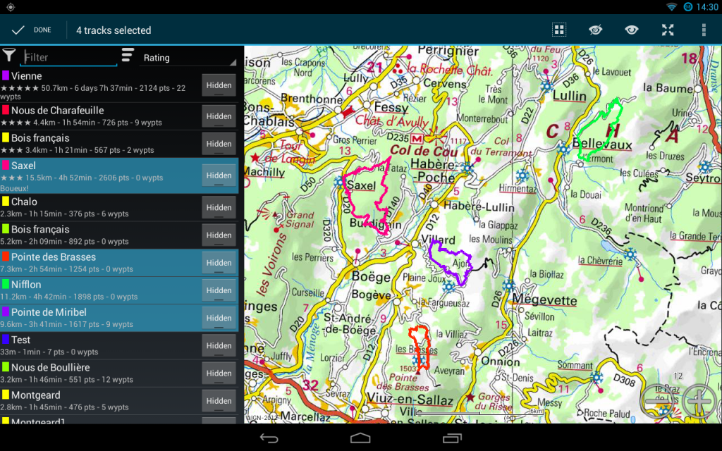
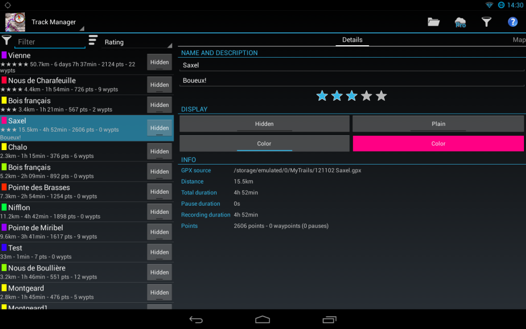
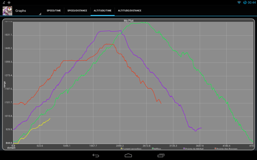
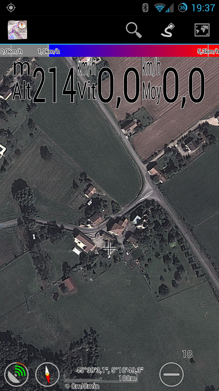
In MyTrails 1.3.16 we added three maps: IGN Littoral, IGN Satellite and Map1.eu. Here are a few screenshots…

IGN Littoral

This is a map of French coastlines, with very detailed soundings (depth), reefs and other hazards.


<a href="https://www.frogsparks.com/wordpress/wp-content/uploads/2013/04/Littoral1.png"><img alt="Littoral1" class="aligncenter size-large wp-image-881" height="912" src="https://www.frogsparks.com/wordpress/wp-content/uploads/2013/04/Littoral1-701x1024.png" width="625" /></a> <a href="https://www.frogsparks.com/wordpress/wp-content/uploads/2013/04/Littoral2.png"><img alt="Littoral2" class="aligncenter size-large wp-image-882" height="912" src="https://www.frogsparks.com/wordpress/wp-content/uploads/2013/04/Littoral2-701x1024.png" width="625" /></a>This is a must-have for coastal navigation anywhere in France, and it&#39;s part of the IGN <a href="https://www.frogsparks.com/wordpress/premium/ign/">online subscription</a> <span style="font-size: 13px;">(&euro;</span><span style="font-size: 13px;">15/year or &euro;4/month)&nbsp;</span><span style="line-height: 1.6em;">which also includes the Top25 hiking maps.</span>


If you&#39;d like to store the maps on your phone so that no matter where you sail you are guaranteed to have the maps, you can subscribe to an <a href="https://www.frogsparks.com/premium/ignlit/">offline plan</a> for just these maps.
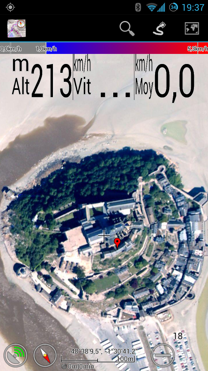
IGN Satellite

This is a very up-to-date and beautiful overhead photography (referred to as &quot;satellite&quot; despite the fact that detailed coverage requires low-altitude airplane photography) covering all of France in crisp detail. It&#39;s also part of the<span style="font-size: 13px;">&nbsp;IGN&nbsp;</span><a href="https://www.frogsparks.com/wordpress/premium/ign/" style="font-size: 13px;">online subscription</a>, but there is no offline subscription.


Here are a few comparison shots alongside Google Earth which show IGN being just as detailed and a lot more natural-looking; it&#39;s also more up-to-date.
IGN Satellite Google Earth
2013-04-22 19.37.19 2013-04-22 19.37.08
2013-04-22 19.44.49 2013-04-22 19.37.58
&nbsp;

Map1.eu

This is a very good-looking OpenStreetMap-based map, with detailed but subtle styling for tracks, nice fonts for place names and a traditional-looking&nbsp;road network.


The team behind this <strong>free</strong> map is asking for donations so they can pay for hosting. You&#39;ll notice that some areas are not covered and zoom is limited to level 15. If you like this map, please <a href="http://alpha.map1.eu/donation.html">help them out with a donation</a> (I did).


<a href="https://www.frogsparks.com/wordpress/wp-content/uploads/2013/04/map1eu1.png"><img alt="map1eu1" class="aligncenter size-large wp-image-892" height="912" src="https://www.frogsparks.com/wordpress/wp-content/uploads/2013/04/map1eu1-701x1024.png" width="625" /></a> <a href="https://www.frogsparks.com/wordpress/wp-content/uploads/2013/04/map1eu2.png"><img alt="map1eu2" class="aligncenter size-large wp-image-893" height="912" src="https://www.frogsparks.com/wordpress/wp-content/uploads/2013/04/map1eu2-701x1024.png" width="625" /></a>

1.3.16

  • Added IGN Littoral and IGN “satellite” photography (premium maps)
  • Map1.eu map (a very pretty OSM-based map, please support the author)
  • Added la-trace.com as a track sharing community (download-only)
  • Fixed sticky notification when canceling an offline download
  • Added support for basic authentication for WMS servers; improved feedback
  • Fixed list of communities available for upload (restores Dropbox upload)
  • Added optional check for beta versions
  • Implemented lightweight analytics (disable update checks to prevent data from being sent)

MyTrails 2.0 progress

For the past couple of months, development of MyTrails 1.3 has slowed down (though not quite as much as I'd hoped), while I attempted to concentrate on MyTrails 2.0.

The main goals of 2.0 are a full UI redesign of the supporting screens (the map display in 1.3 has continued to evolve, but the supporting screens (Map Manager, Track Manager, etc.) have remained mired in Android 1.6 looks and style of interaction). I'm finally able to share some screenshots of the result of that effort. It's not done by a long shot, but it's coming along nicely.

Here are a couple of screenshots of the Track Manager:

Several tracks shown in Track Manager. In landscape view, this displays the tracks on a map.

Several tracks shown in Track Manager. In landscape view, this displays the tracks on a map.

Track manager with track details. You can swipe to view the track on top of the map. I'll also be adding more track statistics and the track profile.

Track manager with track details. You can swipe to view the track on top of the map. I’ll also be adding more track statistics and the track profile.

And the Graphs screen:

Track profiles. The yellow track is being recorded and is updated in real-time.

Track profiles. The yellow track is being recorded and is updated in real-time.

Let me know what you think… I'm hoping to be able to release by mid-June.

1.3.15

  • Added UtagawaVTT as a track sharing community (download-only)
  • Added support for viewing StreetView (long-tap the map)
  • Tweaked the map icons and scale for better readability
  • Added legend view for IGN maps (long-tap the map)
  • Fixed reading manual
  • Use .noscanandnomtp to prevent indexing of cache by Media Scanner (CM only)

My GPS stopped working

This article has been superseded by this new and expanded version.

GPS signal is tricky: it’s affected by the quality of the phone (the Samsung Galaxy S had notoriously bad GPS reception) and by the environment it’s in (indoors, urban canyons or dense forest reduce the quality of the GPS signal).

However, all other parameters being equal, if your GPS suddenly seems much worse (the GPS arrow no longer appears even if you’re moving faster than 5km/h, MyTrails no longer reports the speed, or the GPS signal quality meter remains red), you may need to reset your GPS.

MyTrails doesn’t do this for you, but you can install the GPS Test app, go into its settings and tap the Clear AGPS, then Update AGPS buttons.

One some devices, setting the Temporal resolution to a value greater than 1s (in MyTrails > Preferences > Behavior) causes the device to stop updating the GPS. This is a bug on your device, and you can work around it by setting the temporal resolution back to its default of 1s.

Some devices disable the GPS when the battery is low. Some Kyocera phones for example, disable it below 20% battery, without any visible indications. This may be configurable in the phone’s battery saving settings.