In order to make it easier to manage offline maps, I usually recommend creating separate offline maps for separate geographical areas.
However, this makes it necessary to switch maps when looking at different parts of the map. Unless you chain maps together using the fallback map feature.
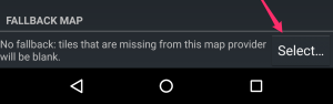
Picking a fallback map
Most maps, and particularly offline maps, support setting a fallback map. To do so, tap the name of the map in the Map manager, and then the Select… button in the Fallback map section. You can then pick the fallback map, which will be used where the main map does not provide a tile.
Using this system, you can chain maps together:
- set the fallback map for map A to map B
- set the fallback map for map B to map C
- etc.
- in the main MyTrails view, select map A, and MyTrails will automatically display map B or C in areas not covered by map A.
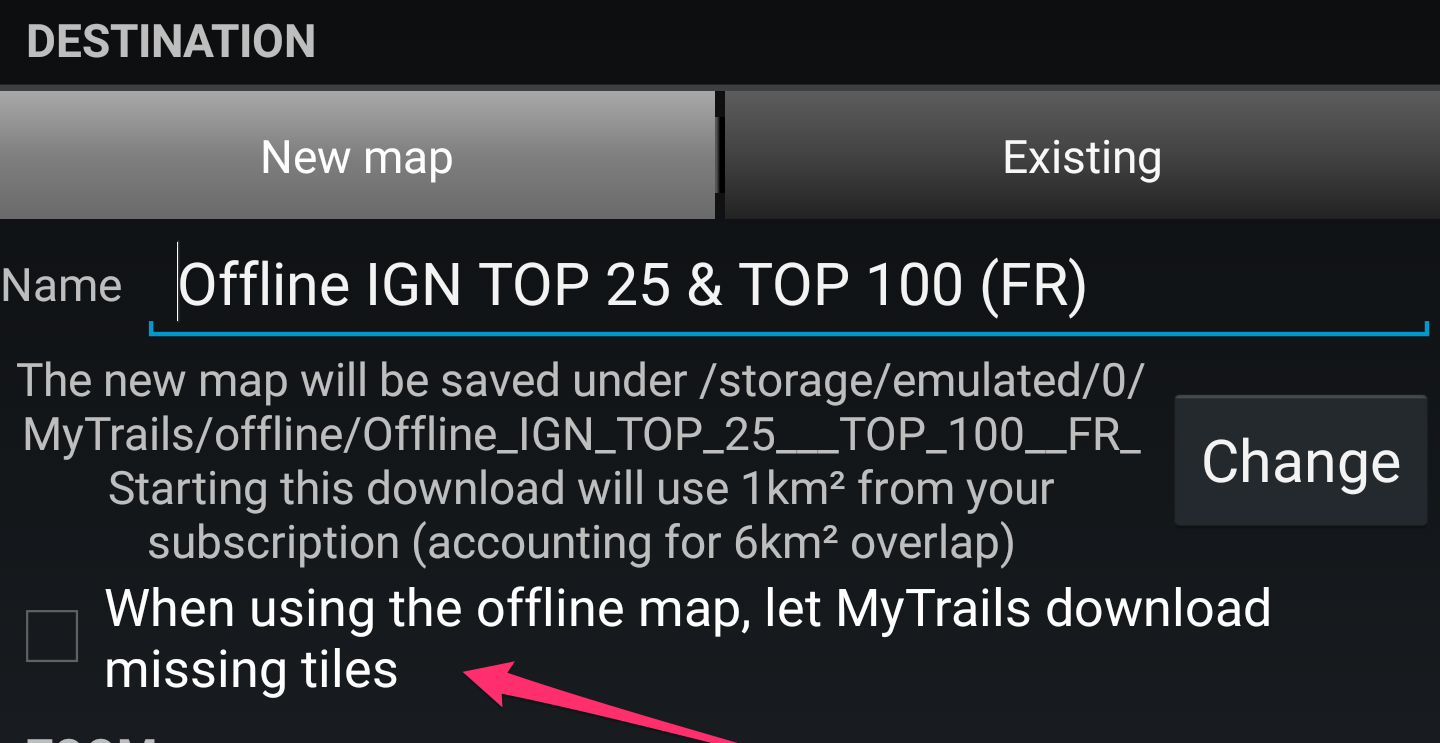
A, B and C do not need to all be offline maps. in fact, it may be useful to select an online map as the last map in the chain, so that there is always something to display. This is what MyTrails does when you create an offline map and check the Let MyTrails download missing tiles option.
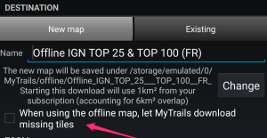
Create offline map with fallback