Author Archives: frogsparks

4UMaps

4UMaps are some of the nicer OpenStreetMap-based maps, maintained and served independently of OSM (and MyTrails).

They have recently updated their server, and some versions of Android seem to have trouble connecting to the new server. You can fix this by changing the map definition for 4Umaps to use the following URL:

{2}/{0}/{1}.png

Alternatively, just tap this link from your Android device to import a new map definition with this URL.

Update: the 4Umaps URL changed again. And again…

Cumulated climb or descent

Dénivelé

In order to calculate the cumulated altitude differential, MyTrails must identify parts of the altitude curve where the track switches from uphill to downhill or vice versa. Because altitude measurements are not exact (especially from the GPS), MyTrails uses a filter to attempt to differentiate measurement errors from actual changes in the track.

Different applications use different filters, which may yield very different altitude differentials.

You will get better results when using altimeter-derived altitudes, or after applying altitude normalization (when saving the track, or in the Track Manager).

In MyTrails 2.0.11 and later, you can additionally use two options in Preferences > Sensors: Altitude stabilization (which performs some filtering on GPS altitude data to reduce the noise) and Cumulative climb filter, which you can set higher to avoid MyTrails overestimating cumulative climb when the GPS data is very noisy.

Goodbye Wallet, hello PayPal

Google is retiring Wallet for digital purchases on March 1st, so for map purchases on my site, I am migrating to PayPal.

You can pay with your PayPal balance or a credit card, and the prices are the same as with Wallet.

Until Wallet is actually shut down, you will be able to use either payment solution.

2.0.9

  • New, simpler track recording UI (activate in Preferences > Recording)
  • MyTrails reminds you to save the track when you’re back at your starting point
  • Use tags to organize your tracks and waypoints
  • Look for nearby place names to help name tracks and waypoints
  • Fixed tapping on track; track details now shows information about the tap location and offers to create a waypoint
  • 10 new stats (duration, distance and number of climbs and descents)
  • 1 new graph (filtered speed)

New recording UI

MyTrails 2.0.9 introduces a new recording UI, which should make it easier for new users to grasp what the application is doing. The original recording UI is still available and will continue to be supported for users who prefer a greater degree of control.

How to select

You can select the type of recording UI in MyTrails > Preferences > Recording, Extended recording UI (uncheck for the new UI).

How does the new recording system work?

The new system consists of two buttons: Record/Pause and Stop.

New recording UI

Currently recording

The icon that is lit corresponds to the current recording state. Tap a button to switch to that state. For example, to pause the recording (without saving and closing the track), tap Record/Pause.

Tap the Stop button when you are done with your recording: MyTrails asks you to save the track (providing a name, etc.), and possibly upload the track to a community. The recording is then cleared, so MyTrails is ready for another recording, which you can do immediately by hitting the Record button.

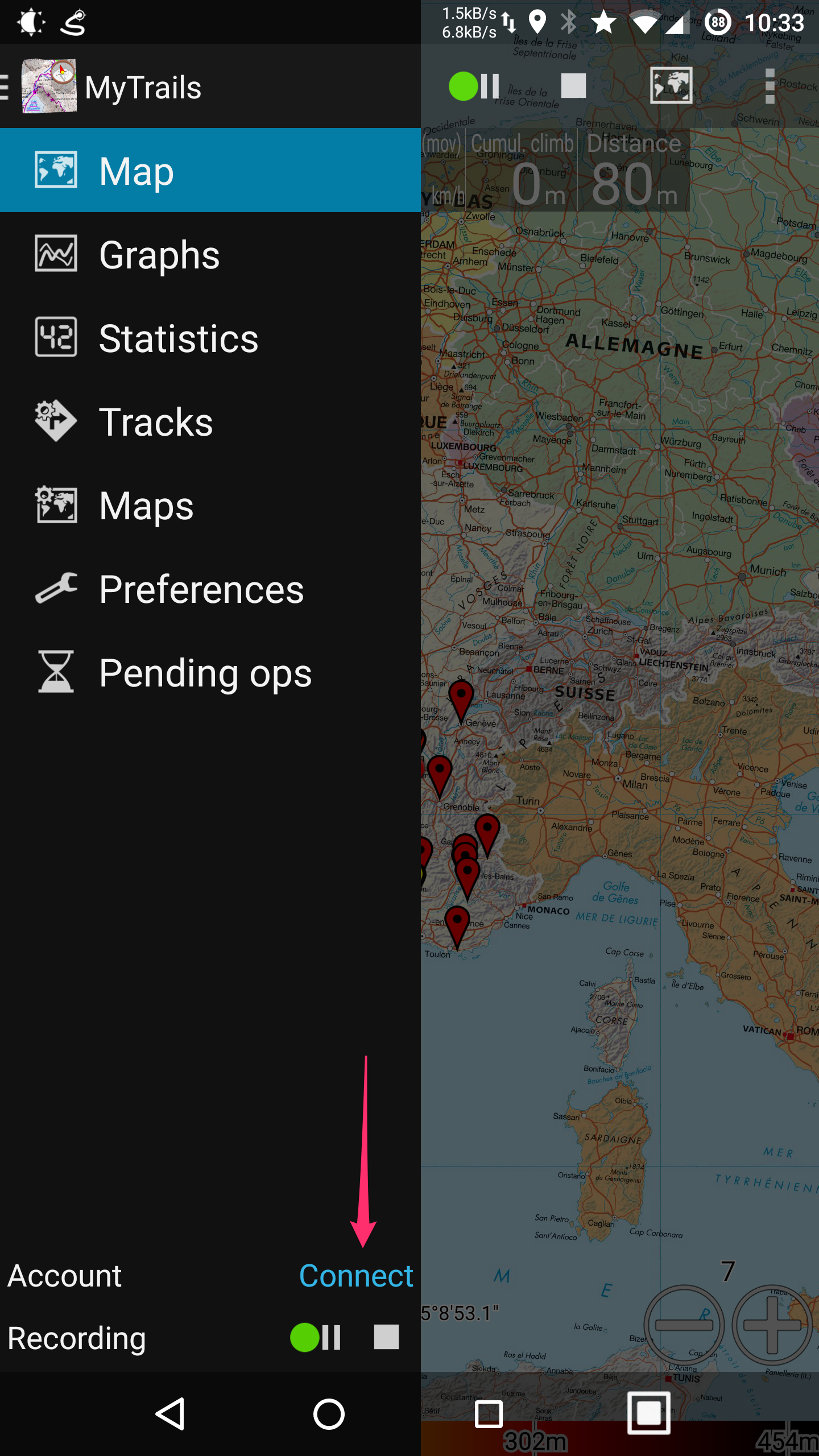
You can also find the recording controls in the navigation menu, which is available on all main screens (stats, graphs, tracks, maps, etc.), not just the map view.

Streamlining the recording experience

With this new mode, MyTrails tries to make it very quick and easy to record your tracks:

  • when you launch MyTrails, recording starts right away (unless MyTrails was exited in the paused state)
  • when you get back to your starting point, MyTrails reminds you to save the recording with an unobtrusive notification (you can dismiss it by swiping it away; you can also disable this feature)
  • when you stop the recording and save the track, you can leave MyTrails any way you like:
    • just sending MyTrails to the background (using the Home button) stops using the GPS
    • actually quitting (using the Back button) is still better: when you next start it, MyTrails will know to start recording a new track

How can I move already downloaded offline maps to my external SD card

So you’ve downloaded a bunch of maps offline, and MyTrails placed them on your phone’s internal storage?

MyTrails doesn’t attempt to help do this, because moving large amounts of data around is difficult to do in a compatible and safe way. So please follow this guide:

  1. in MyTrails > Preferences > Other (storage), set the New offline maps location to your external SD card (you can use the SD card icon if you see one, or navigate to the external SD card if not)
    Create offline maps in
  2. use an Android file manager such as ES Explorer to move the contents of /sdcard/MyTrails/Offline to the location you selected above
    if this is not possible (Android 4.4 and later, unless rooted), transferring the files using a computer is required
  3. in MyTrails > Maps, tap on each of the offline maps you created and adjust its location
    Offline map location

If step 3 sounds too tedious, you can skip it; the next time MyTrails starts (you can stop it manually to make this happen sooner), it will automatically regenerate the map definitions for you (but it leaves the old ones, you’ll need to hide them in MyTrails > Maps, or delete them by long-pressing the map names and selecting Delete – make sure not to delete the map data, just the definition!).

If this does not succeed, please use the reset offline hidden option.

2.0.7

  • On devices without a compass, the compass button is replaced with a travel direction arrow and the map can still be aligned to the travel direction
  • New HUD options: black background, less-cryptic labels (but smaller value display)
  • Improved detection of external SD cards
  • Tap the GPS dot (or the cross at the center of the screen when not following GPS) to create a new waypoint there
  • File selection: options to sort folders before files, hide .hidden files
  • Bug fixes
  • Many translation improvements, especially for Russian